Panama Data Rescue Project
Rainfall amount and intensity data reaching back to 1890
Status: Ongoing
Rainfall data reaching back to 1890
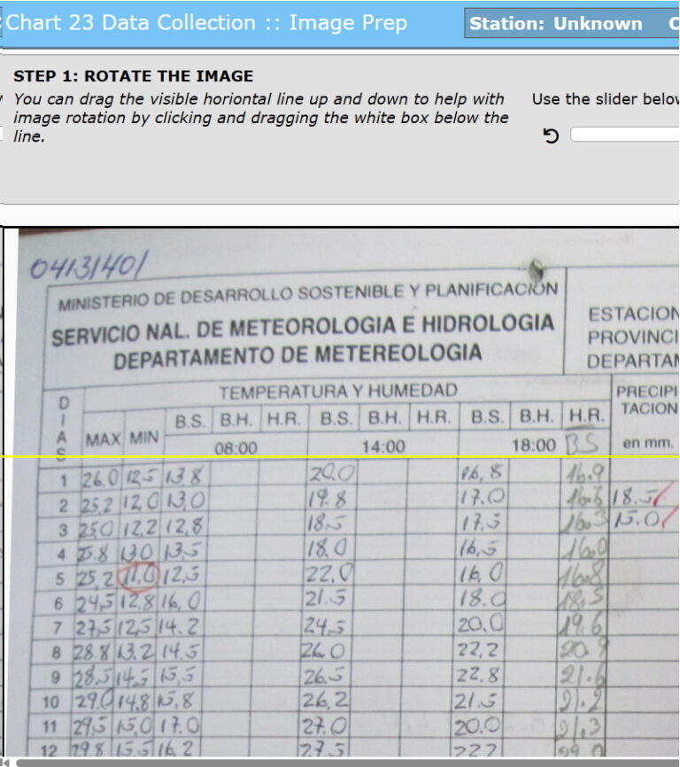
In 2022, IEDRO received thousands of images of rainfall data extending back to 1890. Included are 11 reels of microfilm containing hourly rainfall amounts, from 1907 to 1970. Such rainfall intensity data is hard to obtain but is especially critical for understanding landslides and for managing water storage. These hourly rainfall observations could be the most important clue to how the Canal was operated from its completion in 1914 through the 1950s, and will inform management in the years ahead.
Country involved
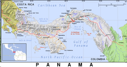
Panama
Contact on Site
Panama National Meteorological and Hydrologic Service
Contact in IEDRO
Pedro Restrepo, Ph.D.
Funding Sources
pending
Project Status
Active
Data Rescued
Unavailable
Why is this project specifically important?
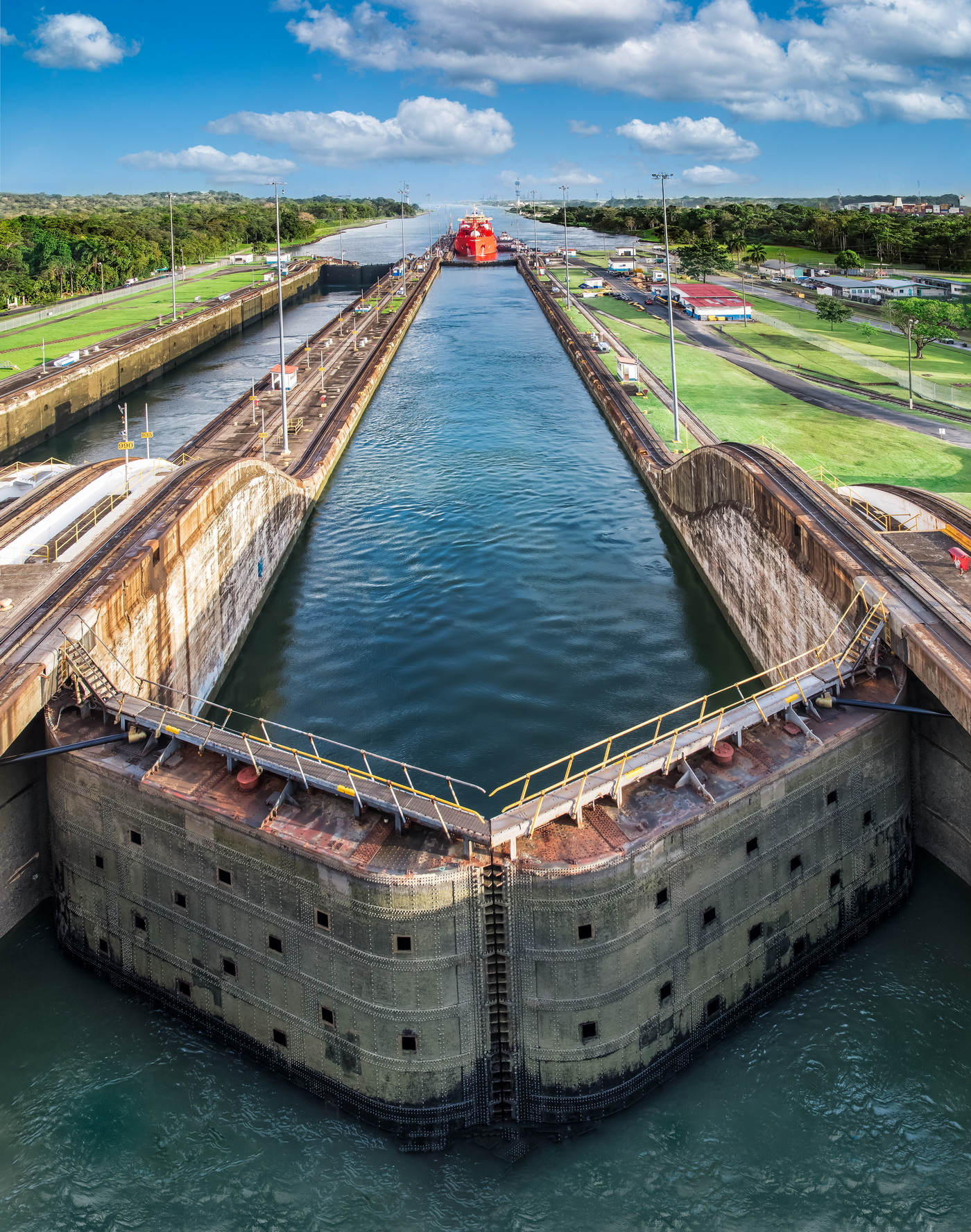
The Panama Canal depends on a steady freshwater supply, about 50 million gallons per day, to operate its locks. The water is supplied by the nearby Lake Gatun, which was built for this purpose. Importantly, Lake Gatun also provides drinking water for Panama City residents. Canal operations managers use rainfall amount and intensity data to keep the canal locks operating under varying conditions. If not enough water is available fewer ships can pass. Similarly, too much water flowing through the locks can damage them.
What are our plans for the future?
Many of the microfilms have been converted to image files but are still being processed for future digitization. Imaged records must still be compared to archival records to confirm which still need to be digitized. Interest from the Panama National Meteorological and Hydrologic Service (NMHS) would facilitate outreach for funding.