Chilean Data Rescue Project
Over half a million surface observations stretching back nearly a century and a half were saved from this special location
Status: Completed
504,000 Observations Rescued
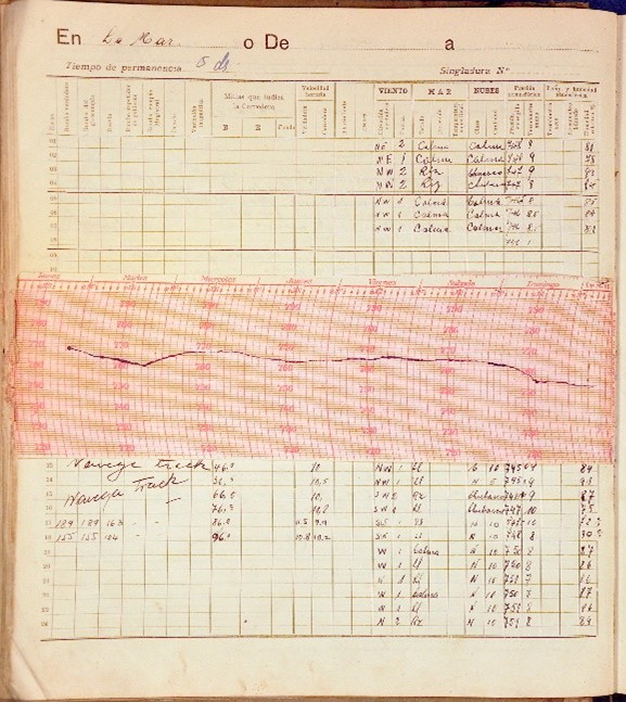
Punta Arenas, Chile is unique for many reasons, one of which is its location as the southernmost city in the world. Jesuit priests in Punta Arenas have kept surface observations there since the 1870’s.
IEDRO often encounters historic data in varying states of decay. Fortunately, these records were retained in a private museum, Museo Maggiorino Borgatello, ensuring their preservation and quality.
IEDRO worked with the museum to image the historical records and collaborated with NOAA, who digitized the data and added them to their global archives. Altogether, IEDRO helped rescue 504,000 surface observations. These data have been used to expand researchers’ understanding of global climate and weather patterns.
Country involved
Chile
Contact on Site
Lic. Anne Hareau
Contact in IEDRO
Dr. Rick Crouthamel, D.Sc.
Funding Sources
NOAA
Project Status
Completed
Data Rescued
504,000 surface observation images with data digitized by NOAA
Why is this project specifically important?
Observations from extreme locations like Punta Arenas are particularly valuable because they add insight into global weather patterns. This video from Philip Brohan shows the reduction in uncertain weather near the tip of South America following introduction of more complete data around 1900.
How did this happen?
In the mid-2000s, IEDRO volunteers attended international data rescue meetings at the University of Chile in Santiago. While there, they visited the Direccion Meteorologica de Chile (DMC) and toured their impressive hydrometeorological data archive. In addition to their data collection, IEDRO appreciated the DMC’s willingness to share data. IEDRO shared their findings with the U.S. Embassy and the Science Officer of the U.S. Ambassador to Chile met with the director of the DMC. IEDRO maintains contact with the DMC Director and is prepared to support Chile in future data rescue and digitization process.
What are our plans for the future?
During the IEDRO visit to Chile, we became aware of over 3000 bathythermographs (ocean records) in need of imaging and digitizing. These records show the temperature distribution from the sea surface to the sea floor along the Chilean coast. Historical records such as these are critical to understanding relationships between rising ocean temperatures, ocean currents and their impacts on climate change. Contacts in Chile would need to be renewed and funding sources with an interest in ocean conditions identified.